Plan will also guide replacement of Vancouver Aquatic Centre
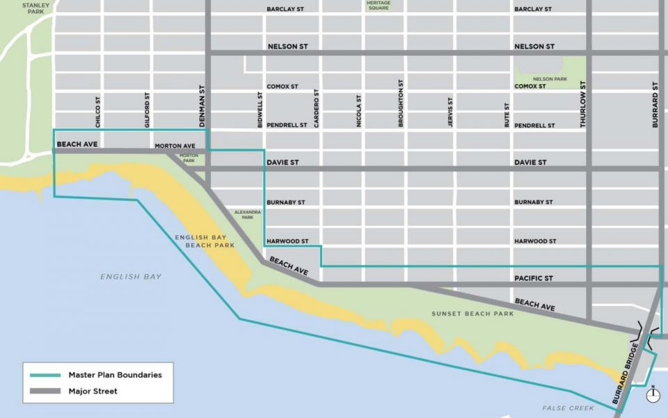
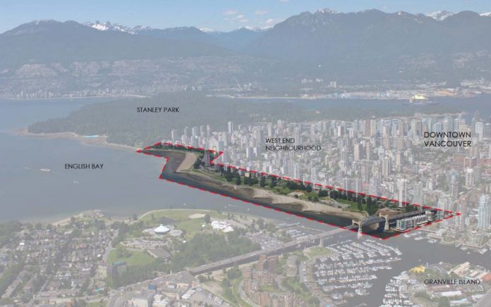
The City of Vancouver is seeking a landscape architecture or urban planning firm to help map the future of the West End waterfront including Sunset Beach and English Bay.
A request for expressions of interest will close May 30, 2019.
The city is seeking proposals from landscape architecture/urban planning firms “with expertise in the planning and design of large urban waterfront parks,” integrated with the street network, for the West End Waterfront Parks and Beach Avenue Master Plan.
The master plan will provide a vision for the area until 2050, and help design multi-modal transportation networks, stretching from the Burrard Street Bridge to English Bay.
The project scope includes:
- improve experience for those walking and cycling, and reduce pedestrian-cyclist conflicts
- improve connections to Denman and Davie Villages
- better integration with West End street network
- protect and enhance biodiversity
- prepare for climate change impacts including sea level rise
- renewal of food and beverage facilities
- reconsider outdated English Bay Bathhouse washroom facilities
- upgraded lighting to improve overall safety

The seawall on the West End waterfront sees approximately 1.5 million cyclists annually, with a monthly average of 83,000 people on bikes. During the peak summer months, volumes can reach up to 10,000 cyclists daily.
The city states that a significant amount of infrastructure in the area is aging and becoming cost prohibitive to maintain, including the Vancouver Aquatic Centre.
The aquatic centre is due to be replaced, with “siting of the new location, footprint and access to the facility within Sunset Beach Park” guided by the new master plan.


